My brother-in-law and I spent a long weekend in Kalispell and Corvallis, Montana visiting a couple friends. The tickets to Kalispell were booked fairly last minute, for which the American Express Business Platinum card 50% back rebate came in very handy (SEE: First Use of the Amex Business Platinum 50% Points Rebate). Over our three days in the Kalispell area, hiking the Highline Trail Glacier National Park was definitely the highlight.
Prepping for the hike
My brother-in-law and I took off from our hotel (the lovely Super 8 Kalispell) just before 7:00 a.m. on Saturday. We grabbed our friend Sage and then headed to Walgreens to pick up some food for the hike. We’d be hiking through lunch, so we needed to have something to keep us going for the whole day.
We had also bought a case of water the day before. Thank goodness for Costco where you can get like 40 half-liter bottles for $2.99. Stocked with water a Clif bars, we were set.
Driving up to Logan Pass
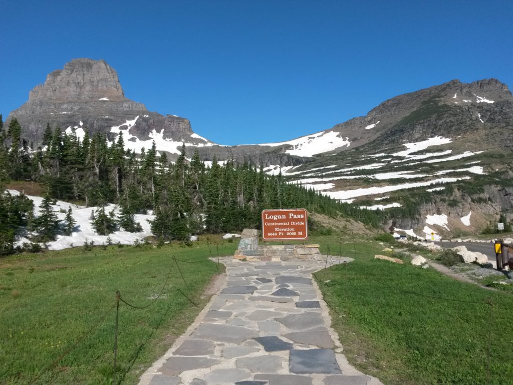
The Highline Trail begins at the Logan Pass visitor center (at least the end at which I suggest embarking). The drive to Logan Pass takes you up Going to the Sun Road, which is a reason to visit Glacier in itself. After winding along Lake McDonald, the road begins a crazy ascent up to Logan Pass. At many points, the two lanes are squeezed between a rock face on the uphill side and a sheer cliff on the downhill side. Harrowing for those with a fear of heights, but otherwise utterly amazing!
Since we had started early, the drive to Logan Pass wasn’t that bad. But it still took over an hour and a half, and the parking lot was over half full when we arrived just before 9:00. We looked around a bit at the pass before beginning the hike.
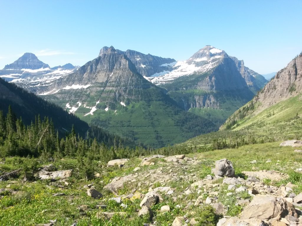
The view from Logan Pass is incredible. At least until you begin hiking the Highline Trail and realize that views become even more amazing.
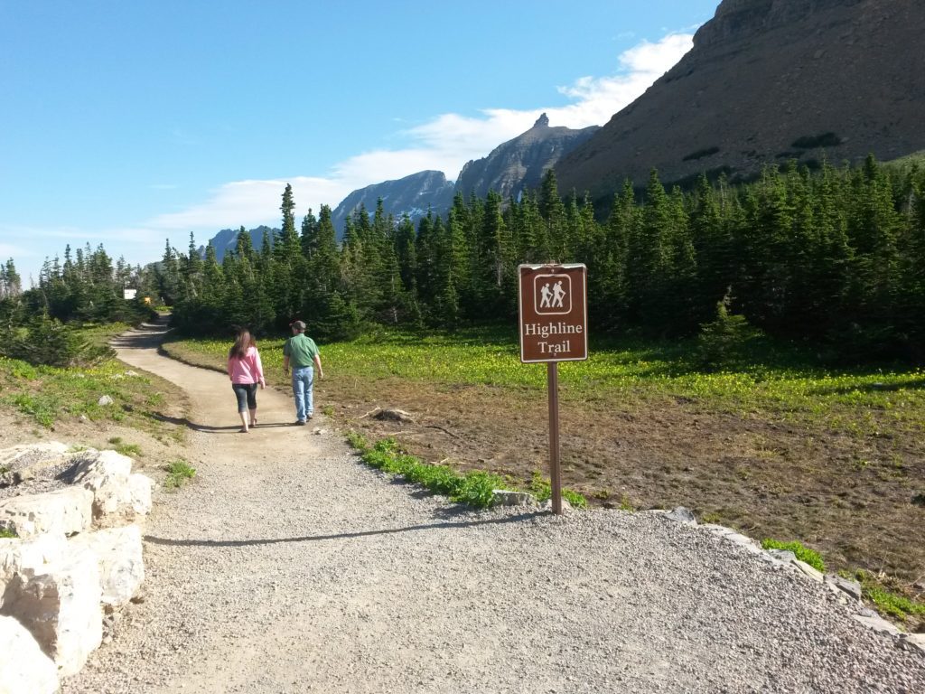
Beginning our hike of the Highline Trail Glacier National Park
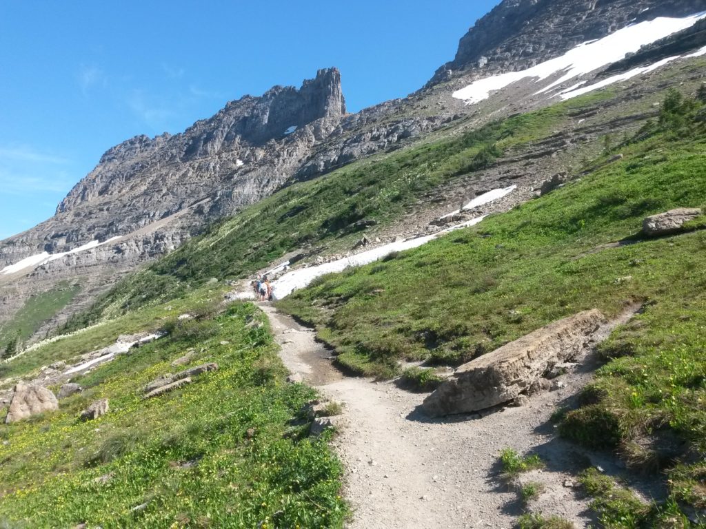
The trail begins after crossing Going to the Sun Road and heads along the west side of the Continental Divide. Judging by the number of people we’d seen above us when driving the Going to the Sun Road, it is a popular trail. I would *highly* suggest hiking the trail from Logan Pass down the “The Loop”, and not the reverse. Google Maps actually plots the elevation change. With roughly 1,600 feet of ascent and nearly 4,000 feet of descent from the Logan Pass end, I wouldn’t want to do it the other way around!
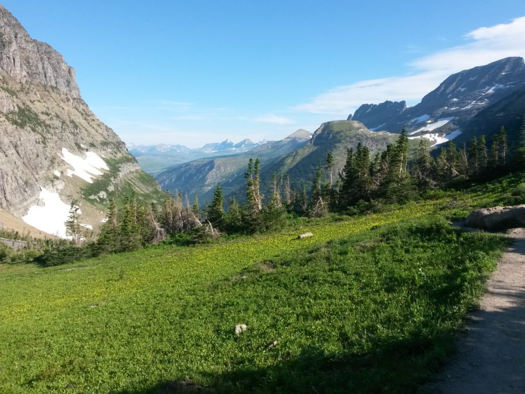
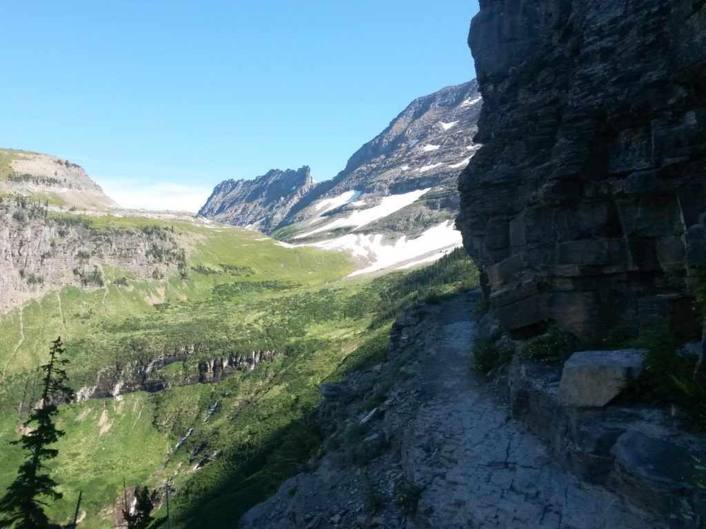
As we began the hike, I knew we were in for some spectacular scenery. The mountain peaks rose up sharply on our right, and the valley fell away to our left.
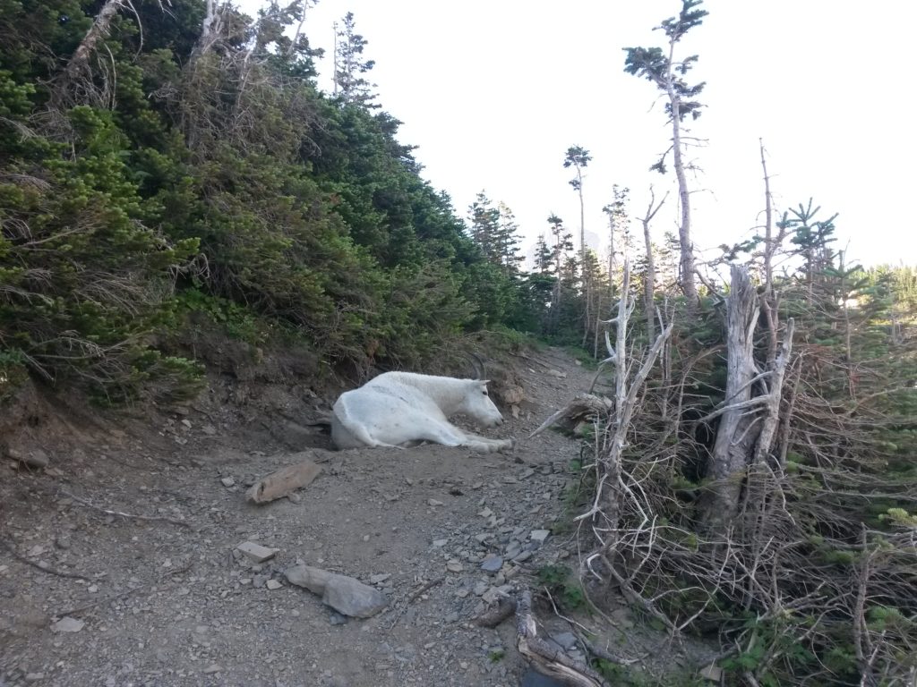
We bumped into a bighorn sheep mountain goat just chilling by the trail after maybe hiking only 500 feet. She didn’t mind us at all and seemed completely used to tourists taking her picture.
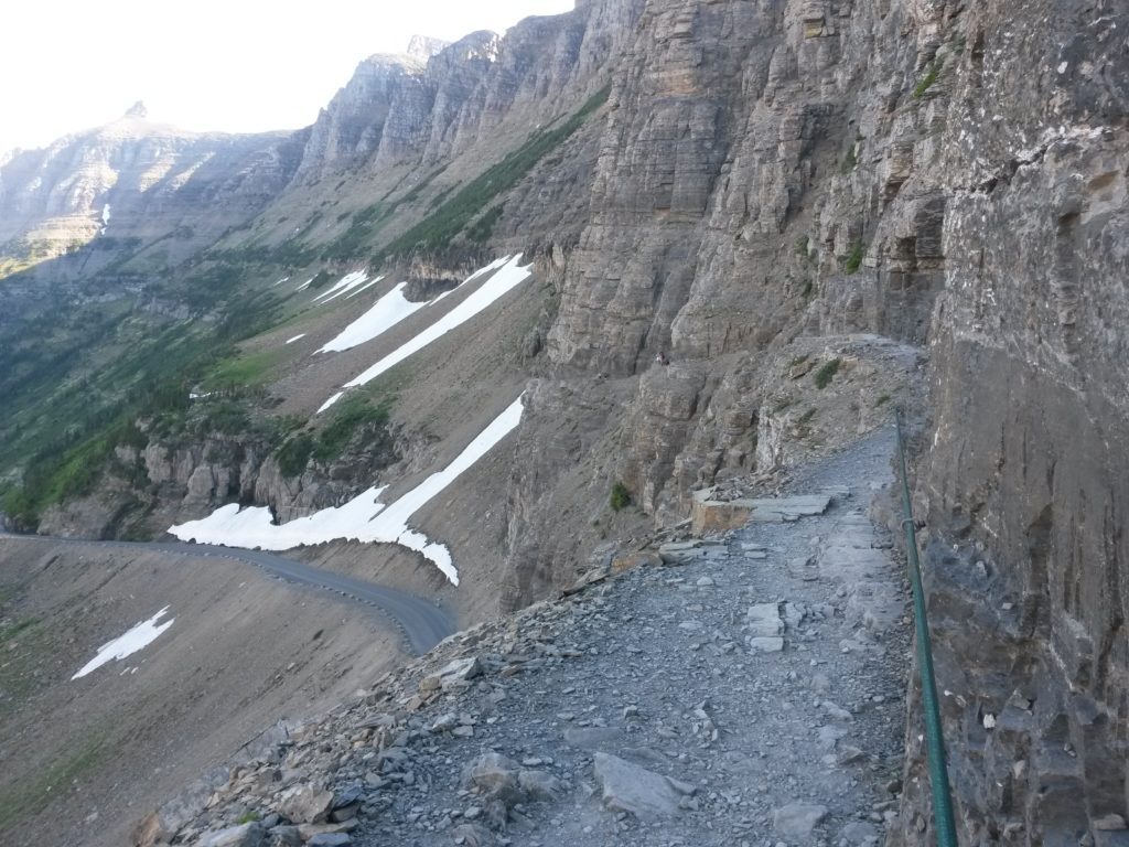
A couple hundred feet further, and we reached a section of trail directly over Going to the Sun Road. There was a sheer cliff to our left, and combined with the loose rock, it was a bit unnerving. But a cable was provided and anchored to the rock on the right as a handhold. Maybe this is where the Highline Trail got its name?
Soon we were past that tricky section.
The trail just gets better
One of the benefits of arriving early is that we were completely in the shade for at least an hour of the hike. The temperature was hovering just below 70 degrees, which was utterly perfect. The first section of hike was very enjoyable.
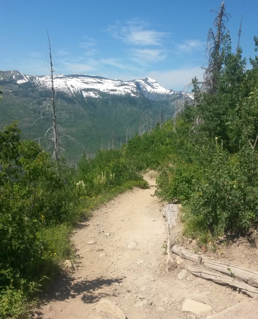
As we broke out into the sunnier areas, however, the temperature began to rise. But the views got better and better!!
We did end hike over a couple patches of snow. It turns out that Going to the Sun road only fully opened a week or two before we arrived in Montana. Like many other places in the West, the park received an above average amount of snow this year, which meant parts of the park were closed later than normal.
This made me think of our recent trip to Oregon. When my brother-in-law and I visited Crater Lake (SEE: 5 tips for visiting Crater Lake National Park), they didn’t expect to open the rim road until after the Fourth of July due to 15 or more feet of snowpack!
Enjoying the flora and fauna
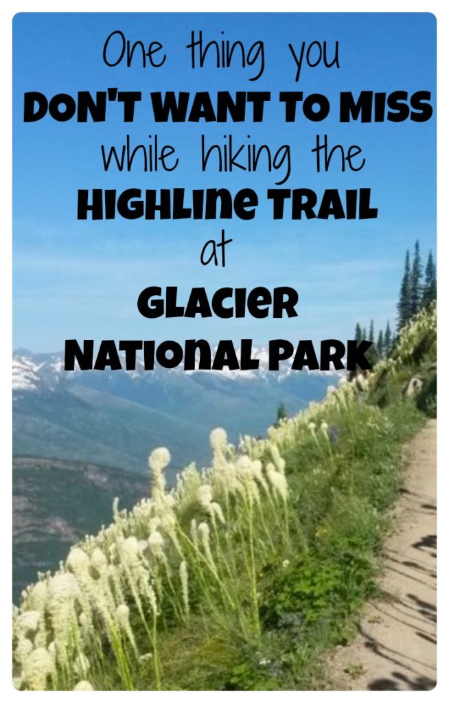
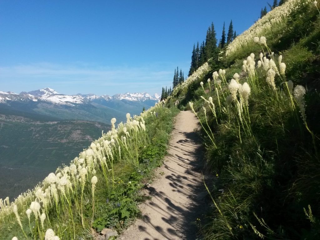
Surrounding us at many points during the hike were these beautiful flowers on tall stalks.
Googling them later, I found out that they are called “bear grass”. I’m glad we didn’t run into any bears while enjoying them! I did wonder about needing bear spray (which we hadn’t bought), but the Highline Trail Glacier National Park seemed popular enough that we wouldn’t need it.
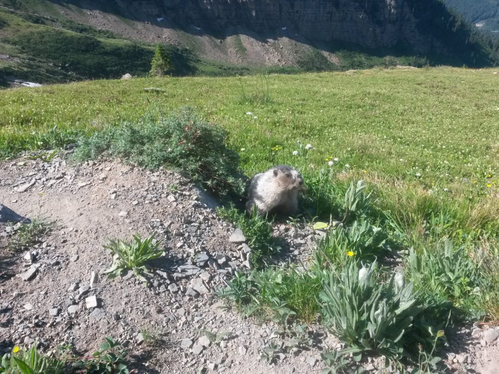
We also nearly walked right over a Marmot. The people in front of us stopped suddenly, and we soon realized that the small critter was right in the middle of the trail. I thought I’d caught a glimpse of one as we drove up Going to the Sun Road, and it was super cool to be only a few feet from one now.
The crazy descent
In general, the Highline Trail Glacier National Park is pretty level. Well, not completely flat, but it is a nice mix of ups and downs. You don’t lose all that much elevation over the 8 miles it takes to reach the Granite Park Chalet.
However, the descent from there is brutal. The trail has a total elevation loss of nearly 4,000 feet, and my guess is that 3,000 of that is on the final 4 miles down to “The Loop.” At first, it wasn’t too bad. We were now in full sun, and the temperature was rising, so I was sure glad we weren’t hiking up that trail.
But the further we went, the more my joints started to ache. I haven’t hiked more than 4-5 miles hikes in the past couple years, so I began to think we had bitten off a bit much for our adventure that day. In my head I still think I am 18 and that I can bounce back from anything in a matter of a day or so. Ten years ago, this hike wouldn’t have phased me in the slightest.
By the time we reached the bottom, I couldn’t wait to sit down. My hips and ankles were both aching mildly, and I couldn’t imagine doing a few more miles of downhill. We waited at the shuttle stop for about 15 minutes before the free shuttle showed up to take us back to Logan Pass.
One downside…maybe
The only downside to hiking the Highline Trail Glacier National Park is that you don’t actually get up close and personal with any glaciers. But…you *do* have the option to complete a steep 0.6 mile climb to the top of the ridge from which you can view the glaciers to the north.
We opted not to take this spur, mainly in the interest of time. It is also very exposed, and the grade is steep in loose rock. I would rank the spur hike as “strenuous” for sure. Given another hour or two, we definitely would have headed up.
Conclusion
If you haven’t been to Glacier, add it to your list. Go. Just do it! It’s absolutely amazing! Our 3 hikes were all great, but the the Highline Trail Glacier National Park was by far the best. If I could do it again, I would definitely plan a bit more time, and I would make it a loop hike. It would probably be easier to hike to the Granite Park Chalet and back, along with the spur up to the top of the Divide. The hike would probably total 15 mile, but with barely any elevation loss or gain, it would make for a great day.
How about you? Have you been to Glacier? What is your favorite hike?
This site is part of an affiliate sales network and receives compensation for sending traffic to partner sites, such as thepointsguy.com. This may impact how and where links appear on this site. Responses are not provided or commissioned by the bank advertiser. Some or all of the card offers that appear on the website are from advertisers and that compensation may impact on how and where card products appear on the site. Any opinions expressed in this post are my own, and have not been reviewed, approved, or endorsed by my advertising partners and I do not include all card companies, or all available card offers. Terms apply to American Express benefits and offers and other offers and benefits listed on this page. Enrollment may be required for select American Express benefits and offers. Visit americanexpress.com to learn more. Other links on this page may also pay me a commission - as always, thanks for your support if you use them



 Dan Miller travels with his wife and 6 (SIX!) children. He loves to help families travel for free / cheap, especially larger families. If you are looking for help, drop him an email at
great post. wanted to mention that is a mountain goat not a bighorn sheep…
Haha…thanks! Updated. Just assumed it was the same specie that we saw in Banff a couple months ago. 🙂
When you arrive at the point where you hold on to the cable, it looks like loose rock can accidentally be kicked and fall on the road below. Had that happened with you?
We didn’t notice any falling rock, but we saw people right above us when driving up. I did think that it would be rather easy to drop stuff on the road below!
Great post. It’s absolutely beautiful there and really is one of the few places in the western world that reminds me of backpacking in Europe. Awesome photos!
I would add that the Trail from Logan Pass is pretty tough for little ones to hike along the road part. We started it with 5 kids in tow and turned around. We did hike the Grinell Glacier Trail with 5 kids and it was just as amazing with the lakes and glaciers!!!